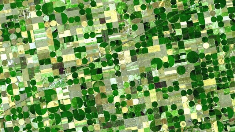
The most striking thing was how sharp the photo was. Most commercial satellite imagery, of the sort offered by firms like Maxar or European Space Imaging, can achieve a resolution of about 30cm per pixel. The image tweeted by Mr Trump seemed closer to 10cm per pixel. (Because images are two-dimensional objects, that works out to a picture about nine times sharper.) “Part of the conversation was how amazing it would be if you could get that sort of resolution commercially,” says Topher Haddad, an engineer who was working on satellites at Lockheed Martin, a big arms firm, at the time. But the price, everyone assumed, would be prohibitive. America’s spy satellites are thought to cost several billion dollars each.
Mr Haddad was not so sure. In 2020, along with two colleagues, he founded a company called Albedo Space. Just over four years and nearly $130m in funding later, “Clarity-1″, the firm’s first satellite, is due to launch in March. Albedo wants to build up to 24 such satellites, with the aim of making 10cm-resolution images of nearly anywhere on Earth available to everyone from insurance companies and utilities to farmers and even governments.
Spy satellites are essentially flying telescopes that look down rather than up. The sharpness of their images depends mostly on two things: the size of the mirror that gathers the light, and the telescope’s distance from its target. Albedo is focused on the second of those factors. Its satellites (which also sport infra-red sensors) are designed to fly at around 274km up, lower than anyone else’s, in what is prosaically called “Very Low Earth Orbit” (VLEO).
Since resolution scales with the square of distance, moving closer to the ground means big improvements in image quality. But VLEO is an unfriendly place. The biggest drawback is that, though the atmosphere at such altitudes is thin, there is still enough gas to cause significant drag. Left to its own devices, a satellite in VLEO would fall back to Earth within months.
Albedo’s satellites use electric engines, which produce only a smidgeon of thrust but are very fuel-efficient, to help maintain their altitude. They are designed with aerodynamics in mind: standard solar panels held away from the satellite are a no-no, since they cause too much drag. Instead, they must be built flush with the satellite’s body, which makes them less efficient. The constant drag makes pointing the satellite in different directions—necessary to take photos—trickier too, since a change in orientation can mean a big change in the forces the satellite experiences.
Objects in low orbits also move faster than those in high ones. That complicates photography further. The wispy atmosphere is, in addition, full of corrosive atomic oxygen, thus requiring protective coatings and materials on the satellite.
Careful engineering means that Albedo expects its satellites to last, on average, about five years, although that number will vary by a factor of two depending on when in the 11-year solar cycle a particular satellite is launched. (An active Sun puffs up the upper atmosphere, making drag worse.) One factor that Mr Haddad hopes will make his business viable is the fall in the cost of rocket launches, making it cheaper to get replacement satellites into orbit.
For now at least, business is brisk: Mr Haddad says that all of Clarity-1’s capacity for the next two years has already been sold, to companies including a gas-pipeline operator, a firm that supplies imagery to the mining industry, and ScaleAI, which uses AI to analyse satellite imagery automatically. Satellite imagery is widely used by all sorts of businesses that have nothing to do with space directly. Insurance firms use it to assess claims after natural disasters, and increasingly to examine risks before them. Agriculture companies use it to monitor crops. Counting cars in a retailer’s car parks, or checking how full an oil firm’s storage tanks are, are staples of hedge-fund strategy.
Albedo hopes its uniquely high resolution will help it expand into new markets, too. Utility companies, says Mr Haddad, use such imagery from drones or aircraft to monitor power lines. Doing the same from orbit, he says, should be significantly cheaper. The same is true of oil pipelines, mines, solar farms, or other bits of infrastructure in remote places. And, he says, once the firm has more satellites in space it will be able to generate several images per day, a frequency that aircraft or drones would find difficult to compete with.
Some of the keenest customers may turn out to be governments—indeed part of Clarity-1’s capacity is reserved for America’s authorities. But recent changes in export regulations mean that Albedo should be able to offer its services to many (though not all) other countries as well, giving them capabilities they would struggle to develop domestically. Though if the Americans are now happy to have this sort of imagery exported, it makes you wonder how much better their newest secret technology must be.
© 2025, The Economist Newspaper Limited. All rights reserved. From The Economist, published under licence. The original content can be found on www.economist.com


